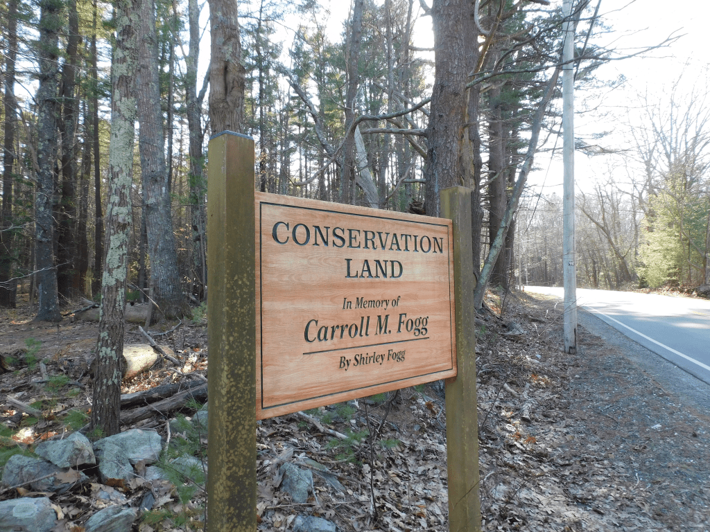
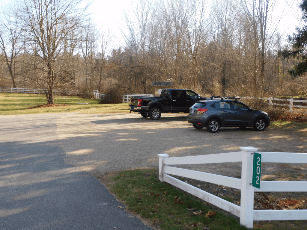
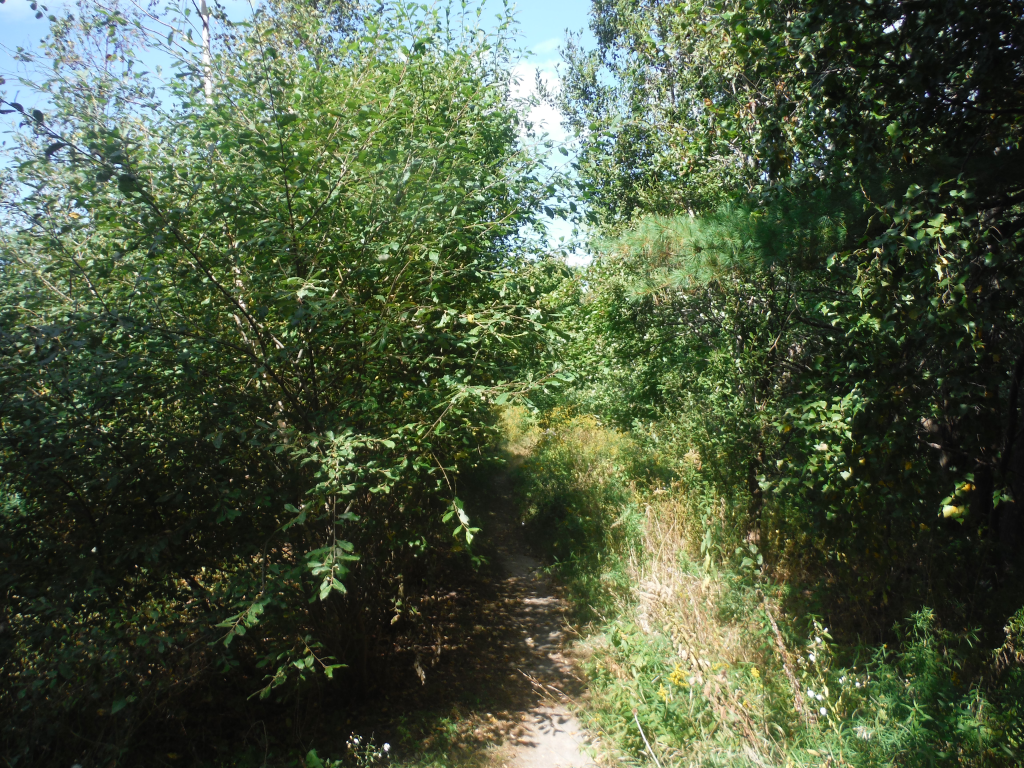
Drive along Mill Road from Rye, you will see on the left a sign reading Carroll M. Fogg Conservation area. I miss the sign whenever I drive from Hampton. It is a small entrance with enough parking for about 3 cars. Park there and you will see a trail that I could not find on the internet or any other listing.
Stop there and there is a trail that is a beautiful walk. It is not a long walk, but long enough to take a good walk with kids and a dog. The trail is flat enough to take a bike ride, but it may not be long enough. It is a perfect walk to relax your mind after a hard day at work or home. The trail is scenic to be able to clear your mind. Here are some pictures.
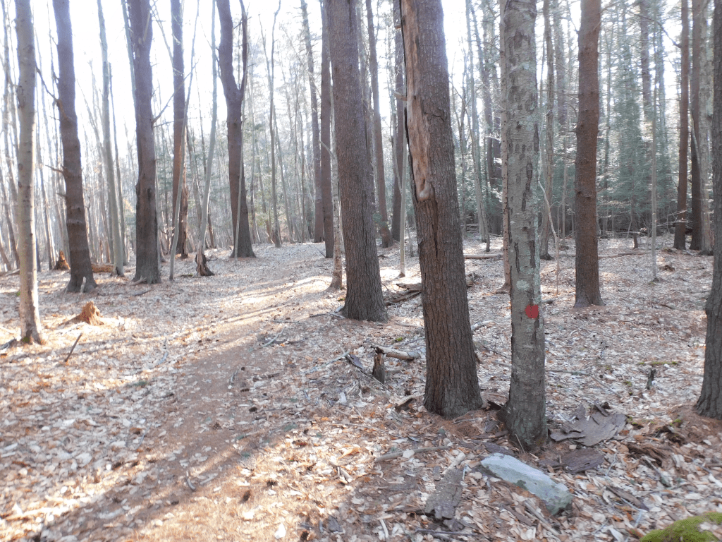
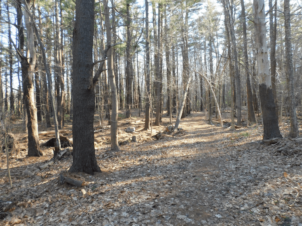
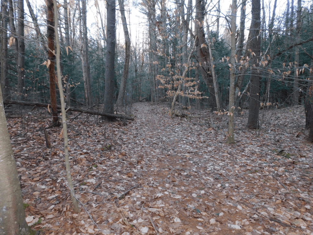
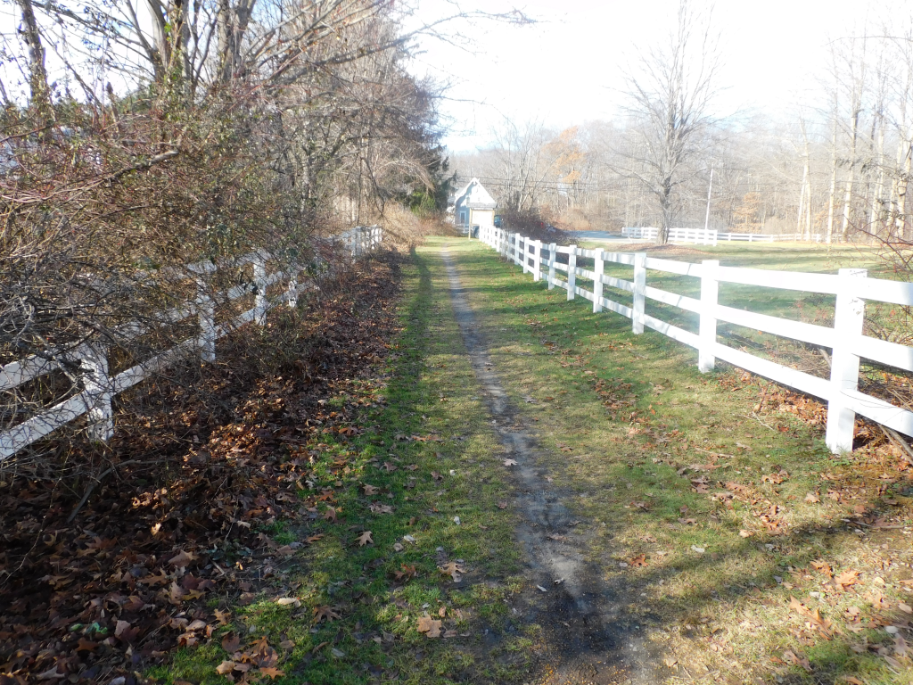
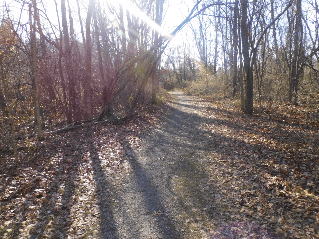
Entrance to the Trail The trail itself. See the red circles on the tree to mark the trail More of the trail
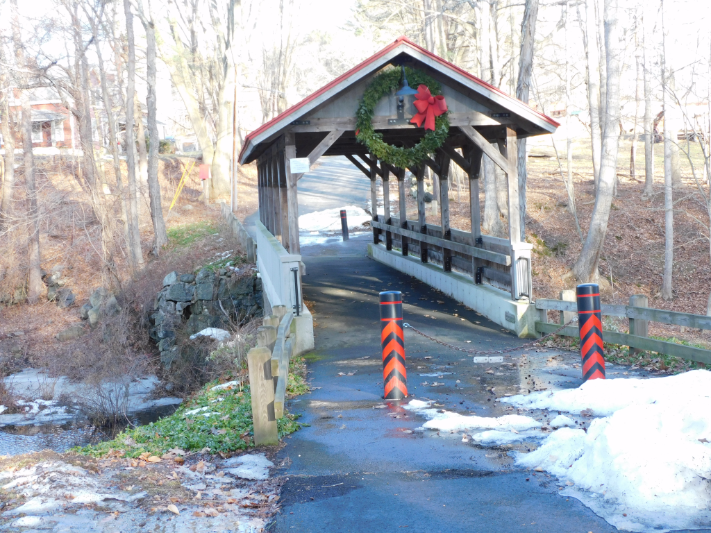
This is one of the most beautiful short trails (app 1 to 2 miles) that I’ve been on. To get to the beginning of the trail is amazing. You pass by huge obscene mansions. From Hampton center you go on Exeter road. Take the first left on Towle Farm road and go to the end. Take a right on Brown road. Take the next right on Old stage road. Continue on that road and take a left on Toppan road. It is the last left. If you miss it, you will see the covered walking bridge. On Toppan road, you will find the beginning of the trail. There is plenty of parking.
Follow the trail. After about a quarter on a mile, you will be following the Taylor river. I enjoyed observing the river with the animals that live from it. I saw an otter and trees that were downed by a beaver. I understand that if you observe closer, that you will find an abundance of wildlife.
Following the trail, you will find offshoots of the main trail. There is a trail that takes you through the Hurd farm conservation land which has its own trails for recreation. The Hurd farm is open land for hiking, cross country skiing and other sources of outdoor recreation.
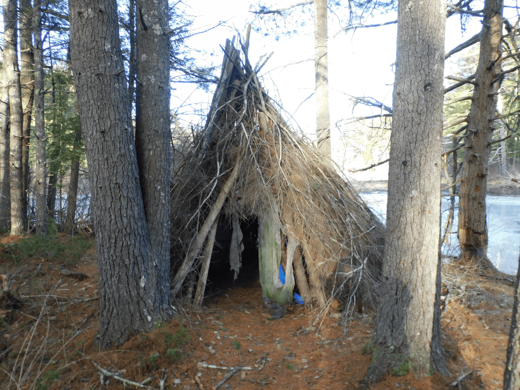
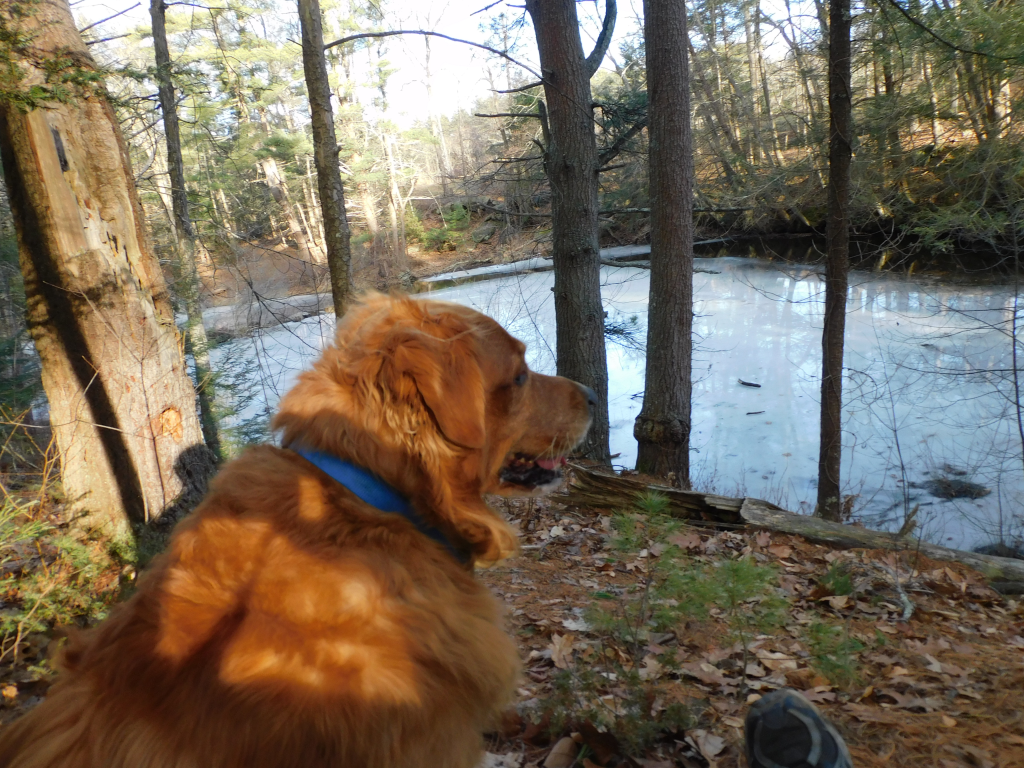
If you miss the cutoff to the trail, you’ll find this bridge. It is a footbridge made after the previous bridge washed away in a stormThe beginning of the trailThe trail itselfA teepee some made along the trailMy dog enjoying the trailAn otter swimming in Taylor river
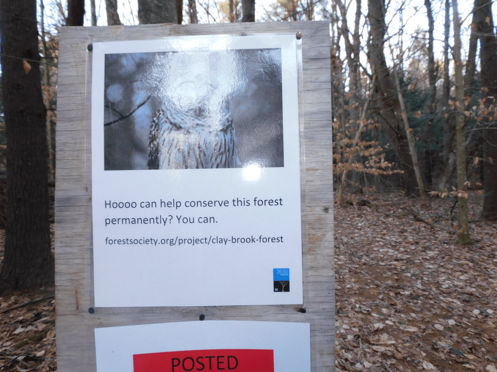
Heading west on Route 88 from Hampton Falls there is a place called Raspberry farm. Like all farms, it has a history about it. This blog is not to talk about the history, but if you travel about a quarter mile on the right you will see a parking space with a sign and a trail coming from the lot to woods. The sign provides background information and a map of the trail.
The map described that the trail takes you to the head waters of the Taylor River. This isn’t entirely true. If you go upstream, the river will cross Route 88 and will start near Kensington. Back to the trail, you will start in a field and enter woods. The trail in the woods goes around and eventually wind up back to the trail to go back to the parking lot.
As one heads from Portsmouth to Exeter on Route 33, one passes by Stratham Hill park. About a mile past that, there is a small field with white fences. If one stops and enter the parking lot, you will see a sign that says Stratham trails. It place is easy to go past it without even seeing the parking lot.
Look closer, one sees a sign with the heading of Stratham trails. Look closer and one sees a group of trails. Some of those trails actually connect to the trails at Stratham Hill Park. I did not walk the trails myself, but the part of the trails that I saw looked well traveled. The park allowed dogs as long as they are leased. The trails looked well enough for cross-country skiing. However not being a skier myself, I am not certain.
There is a map at the start of the trails. I have not included it because the map needs to be copied by permission only. However the map is located at https://www.mirtoart.com/index/G0000QgdRtpiWHLY/I0000IeJklfvNAwU. The trails seem to be a good afternoon journey.
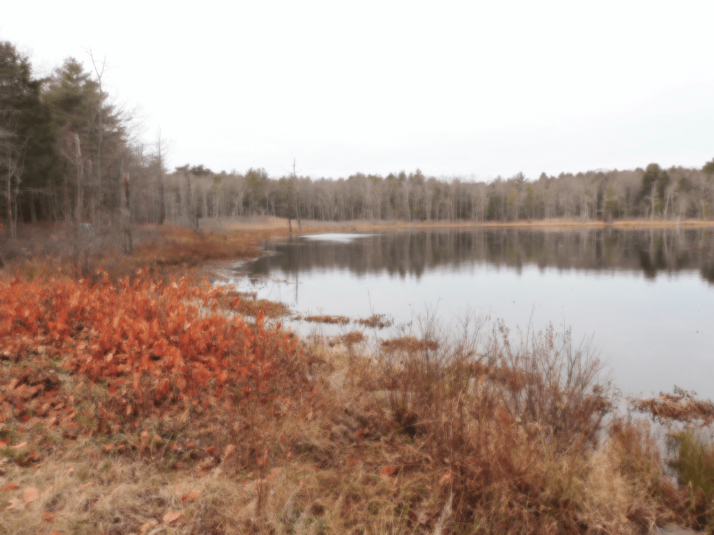
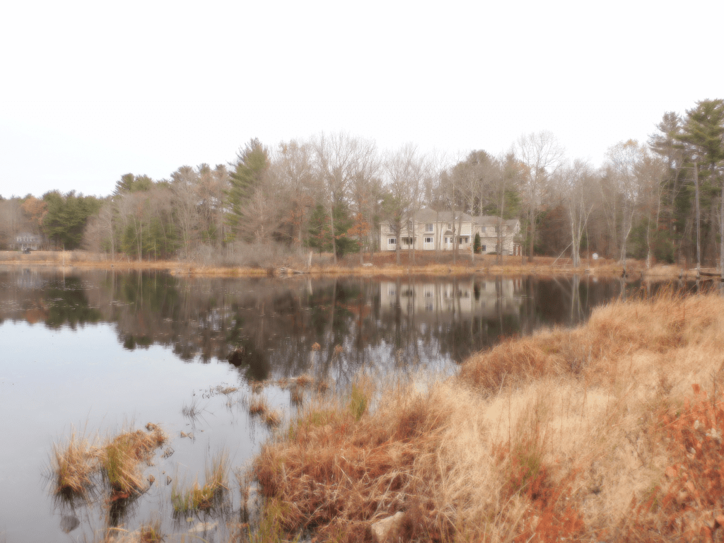
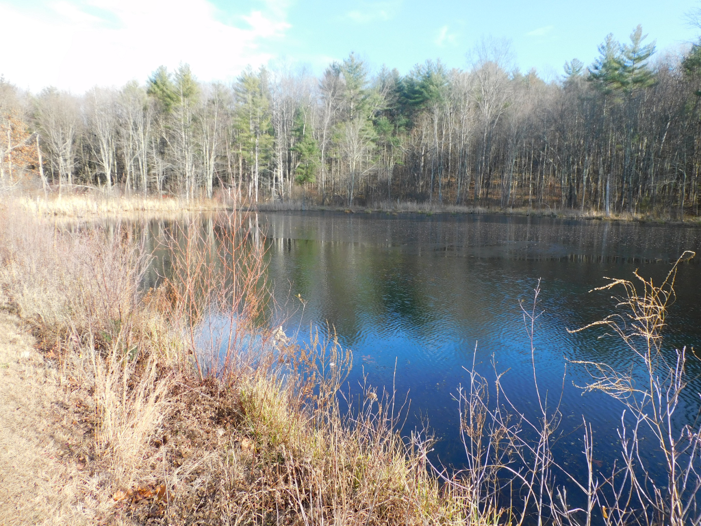
Leaving from High street at what people call Five Corners in Hampton, going on Little River Road to Woodland Road, one will see a small picturesque pond on your left. It is small enough to pass by without looking at it. You will see a small parking area in front of the pond. When you park your car there, there is a sign that says Ice Pond trail. The only trail is about 50 yards long.
Almost 150 years ago, a company from Lynn Mass bought the lake. They used this lake to supply ice to Hampton Beach. They drained the lake once a year and eliminated any weeds so when the winter came and the water froze, the water would be weed less
This lake has been bought up by Hampton. According to the website, It is the only lake in Hampton that is town owned. It is protected. The pond is made for bird watching, ice skating, fishing, boating and other water sports (No swimming). A Bald Eagle was recently seen there.
A side note is that the pond is fed by Nilus Brook. The brook continues from the drain from the ice pond to Old Mile pond which contains the grist mill. The water then flows under High street. The brook then goes to The Meadow pond which flows into Hampton Marsh.
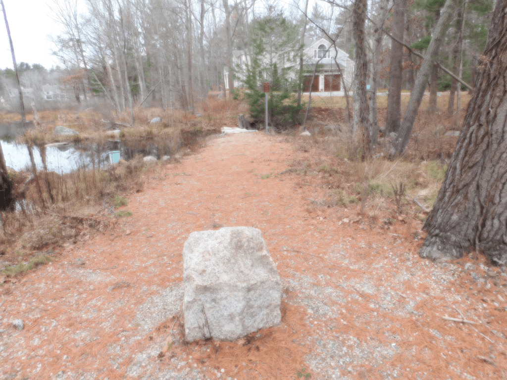
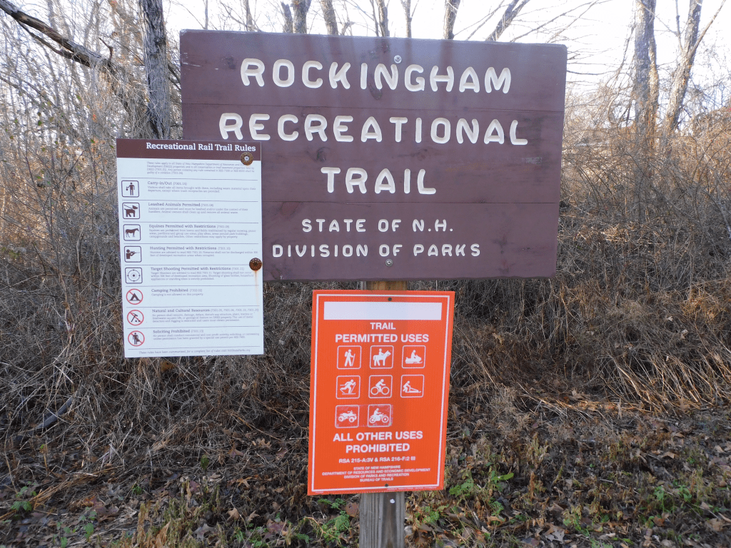
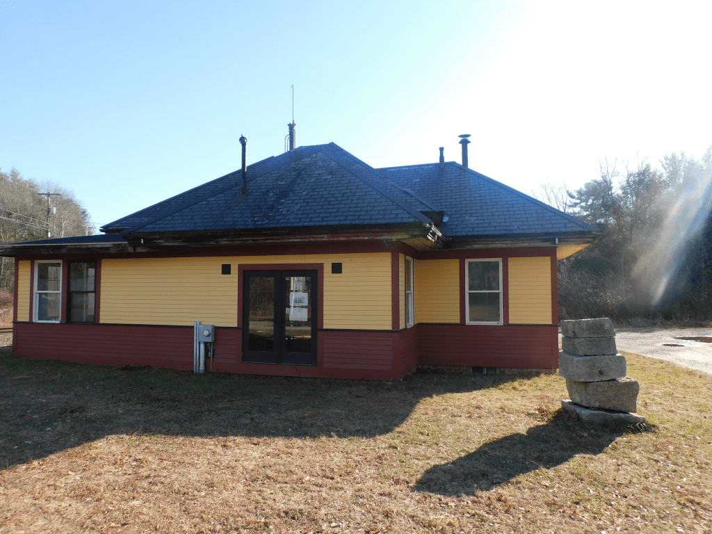
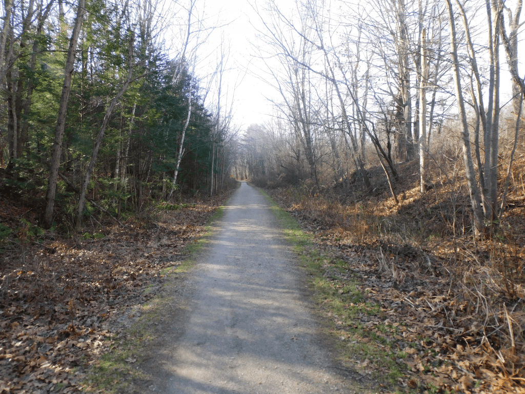
This trail is an incredible source of activity. It is 27 miles long. The activities include horse riding, dog walking, fishing (goes past several lakes and rivers), nature trips, winter sports such as snowmobiling and cross-country skiing, running, walking etc. It is a wide trail so people can easily pass each other. It is very scenic. There is a lot of wildlife to observe. I can’t say enough about it.
The bad point to the trail is also the good point. The trail is very flat. That make it easy to travel, but no views from a hilltop to see. This trail is going to be supported by the state. There are lights to cross busy streets, a bridge that was recently rebuilt and a trellis in Newmarket/Newfields that is being remodeled.
The trail goes from Newmarket/Newfields and goes to without interruption to Manchester near the airport. One can get on the trail on several points. There was plenty of parking. It is a great way to spend an afternoon. Here are some pictures on the Newmarket/Newfields part of the trail. By the way the web site which gives a better description that I can give is https://www.alltrails.com/trail/us/new-hampshire/rockingham-recreational-rail-trail.
I want to introduce you to a hidden treasure. When I say hidden, I mean hidden. You will never know about it unless you are at a beach during extreme low tide. This is a petrified forest. There is a sign along Route 1A that talks about the petrified forest along with the communication site between the United States and Europe. Even on the beach at low tide, unless you know what you looking for, you may not recognize it.
During the ice age, the ocean water level decreased by several feet. This allowed a forest to grow in an area where there is now water. The ice melted enough to raise the ocean water level to where it is now. This covered the trees and in time the trees became petrified. It is definitely hidden. A side note is some people has seen the wire that allowed communication between the United States and Europe running between the petrified trees. This was before wireless communications.
I have seen remains of the petrified forest on almost all the beaches. Unless you look for signs, you will not recognize it. Here is testimony on YOUTUBE that can provide better information in a manner than I can give. Here it is. https://youtu.be/SgLIAJg1vbg and https://youtu.be/5Rn16SJp3uo.
I found this incredibly interesting. I had lived here for 30 years and did not know what to look for. A side note – My daughter Allison opened my eyes on the hidden treasure. She does Geocaching and there is a Geocache side involving the petrified forest.
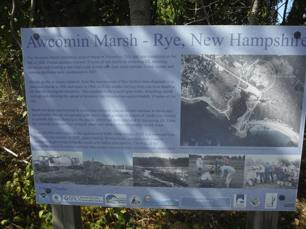
Awcomin Marsh is a strange name for a marsh. I have no idea where the name came from however it a place that is worth going to. The entrance is about 200 yards to the south of Rye Harbor across the road on route 1A.
Sign at the entrance of the marsh
I do not know where the name Awcomin come from. There has to be a good source. This is a conservation marsh land that attracts birdwatchers. In fact if you go to this website http://ebirdhotspots.com/birding-in-new-hampshire/usnh-rockingham-county/usnh-awcomin-marsh-rye/ you will see the type of birds sighted by bird watchers. When you go to this web site, there is a link called hotspots. There will be a list of birds sighted there. This website will let you see what birds are sighted all over the state.
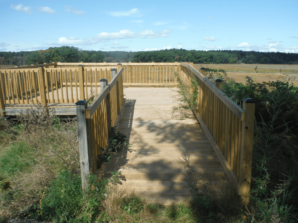
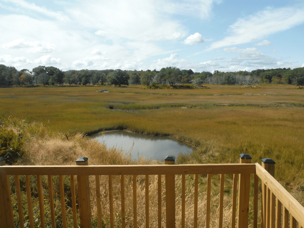
The entrance is about 200 yards south of Rye harbor on route 1A. One can either park at Rye Harbor for a small price or park at the entrance of the walkway. There is limited parking there. The entrance is not marked well so you can easily pass by it. Take the path. It will split into 2. The way to the platform is easily marked and short. There is another path that takes one to a piece of land that takes you to a strip of land that goes nearly to the center of the marsh. This path is not well marked. I passed by there the first time without seeing the entrance to the path. This marsh is well worth the visit. Just like going on any trails in New England, check for ticks later after completion of the visit. Here are some pictures.
Trail to platform The platform (It is close enough to the road to brink a light folding chair) View from the platform
There is so much to do in the New Hampshire seacoast area. The list of things to do grows every year. Towns are buying/inheriting conservation areas for an easy scenic walk. There is more than beaches and good restaurants in the area. This blog is to present these activities. I will also promote historic places. There is more history than people can imagine. There are concerts playing all summer long. I can go on describing what to do. You can read the posts. The posts will include hiking paths, historical sites and other sites. Here we go.